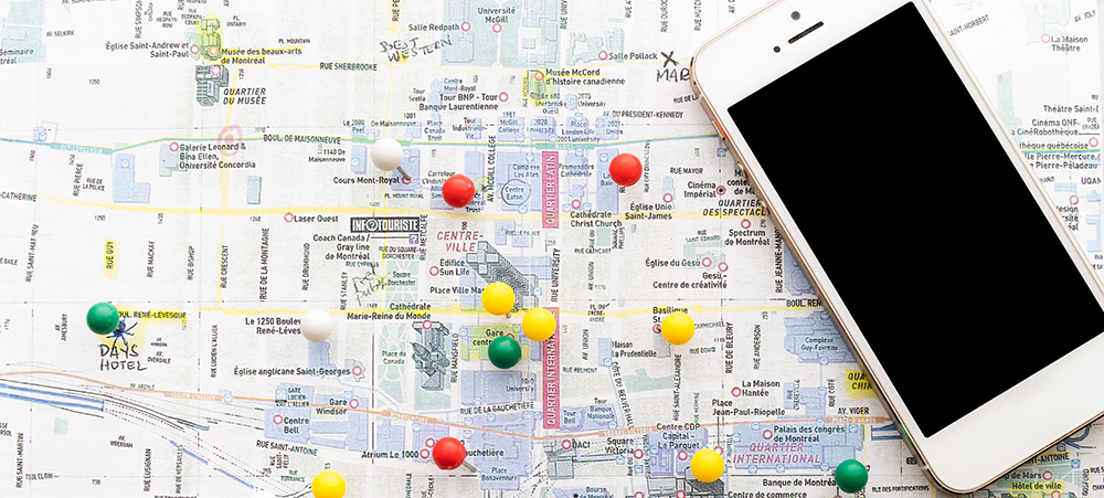
 In an increasingly data-driven world, geographical information plays a pivotal role in decision-making processes across various sectors. The LightHouse IT Solutions stands at the forefront of this transformation, offering cutting-edge GIS (Geographic Information System) and GPS (Global Positioning System) mapping services to empower businesses and organizations with accurate and actionable geographical data.
Comprehensive Visualization of Geographical Data
At The LightHouse IT Solutions, we harness the power of GIS technology to bring your geographical data to life. Our advanced tools and techniques allow us to visualize spatial information in a way that is both intuitive and informative. Whether you need to perform spatial analysis, manage data efficiently, or create dynamic maps, our experts are here to assist you every step of the way.
Seamless Data Conversions
We understand the challenges posed by disparate data sources. Our team excels in converting data from various formats into a unified, accessible, and analyzable structure. This seamless integration ensures that your data is always ready for analysis, helping you make informed decisions with confidence.
Creation of Electronic Maps
The creation of electronic maps is where our GIS expertise truly shines. From spatial maps to thematic maps, cadastral maps to environmental maps, we produce a wide array of digital maps tailored to your specific needs. Our maps are not just visually appealing but also packed with precise, relevant information that you can rely on.
Advanced Remote Sensing Capabilities
Utilizing state-of-the-art remote sensing technology, we acquire, store, integrate, and analyze geographical data to create comprehensive maps. Our remote sensing services include the manipulation and display of data to provide you with a detailed and dynamic understanding of your geographical landscape.
Expert Utility Mapping
Ensuring safe construction and reducing risks are paramount in any project. Our utility mapping services identify subsurface utilities and potential obstructions, providing you with the critical information needed to avoid costly errors and maintain safety standards.
Accurate Cadastral Mapping
Understanding land ownership and geospatial references is crucial for many businesses and organizations. Our cadastral mapping services deliver precise and reliable maps that define land ownership boundaries and other essential geospatial references, aiding in property management and legal compliance.
Elevate your decision-making processes with the unparalleled GIS and GPS mapping services offered by The LightHouse IT Solutions. Our commitment to accuracy, innovation, and client satisfaction ensures that you receive the best possible service for all your geographical information needs.


 Umeshkumar Nagare
 Nikit Kardel
 Janice B
 John B